2022 June 8 to 18

We had looked forward to this part of the strip for various reasons, including Alan’s interest in visiting the places he had worked many years ago. Uncertainties associated with this highway included the weather, the state of the road, and the timing of the opening of the Peel River and Mackenzie ferries, which could be affected by the first one.
It has been a cold spring, not that there’s been much spring, more of a transition from winter to summer with no intervening period. In the days before heading north, there had been snow, and later a blizzard south of Eagle Plains, which had closed the road. The ferries, which in the last 15 years usually opened in early June (with the latest opening being June 10th), were still closed on the 11th. Gathering information on the state of the ferries was not easy. Our decision to leave Dawson City was to head for Tombstone Mountain campground and check with the Interpretative Centre there before heading further north. We had to be somewhere with an internet connection on June 13th, and so if we could not rely on getting to Inuvik, we would have to return to Dawson, and then try again the following week.
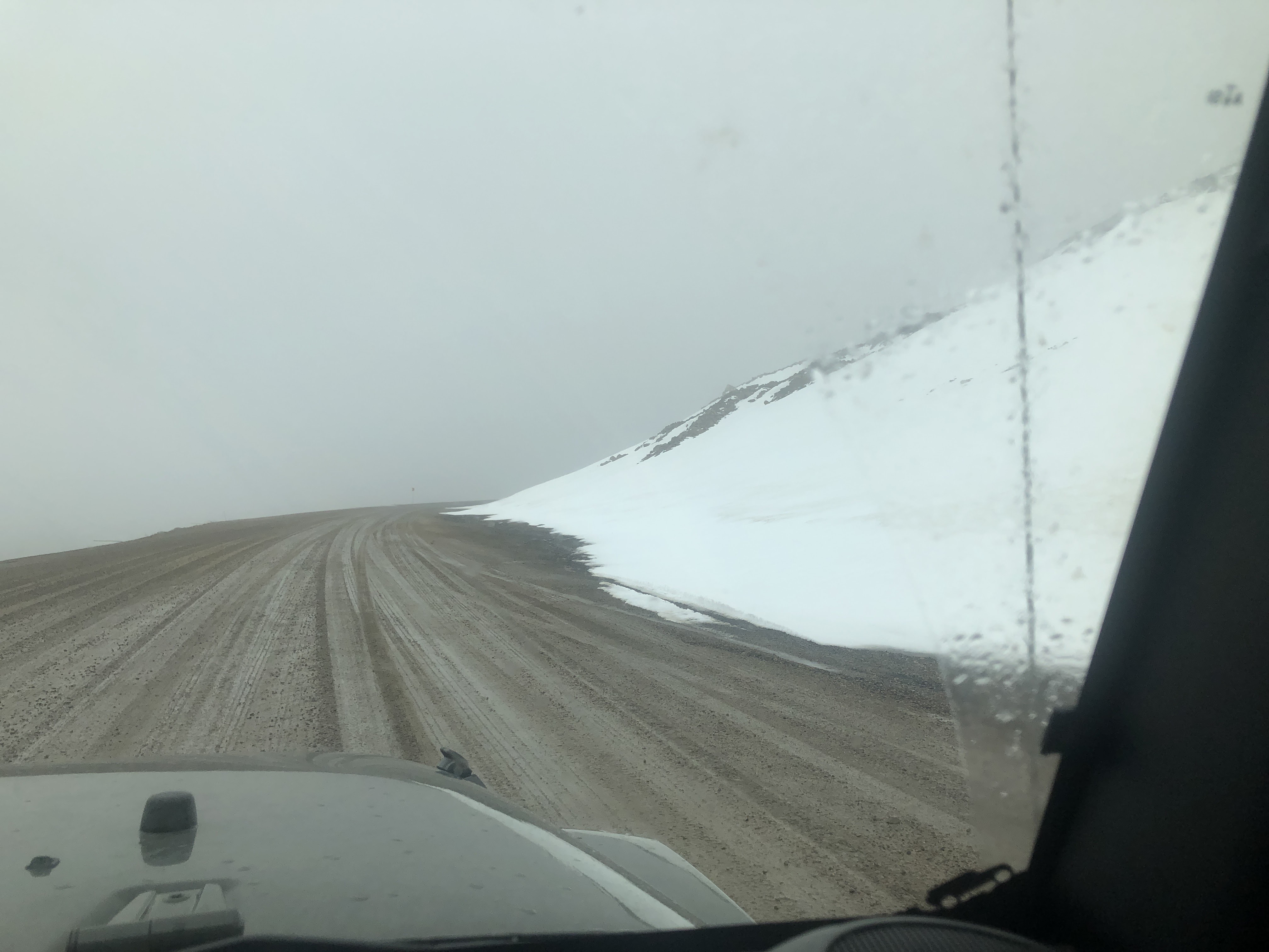
Tombstone was a good stop. We enjoyed the Goldensides Trail, which had good guides, and walking the short North Klondike River trail, and exploring the surroundings. This area is distinctly different from the forest further south, as we transitioned from taiga to tundra, with smaller trees, bushes, lichens, and grasses predominating. The views were amazing, and we saw a variety of birdlife on the lakes we passed through, as well as sandhill cranes on the way north and in Tuktoyaktuk. We also saw moose twice on this part of the trip, a mother and a young moose both times.


Based on the information available, we decided that we should head for Eagle Plains, where we would finally choose between heading to Inuvik or going back to Dawson, with enough time to return to the latter if the ferries (and road) were still closed. The last part of the road to Eagle Plains was very muddy, and we met people who had struggled to cover this section on motorbikes and others for whom it had been a challenge even in four-wheeled vehicles. It was still raining, and the forecast was not good to continue north; however, after breakfast, and rumors that the ferry at Peel River was both open and closed, we met someone who had crossed the river that morning heading south. So – the green light! We left in the rain and crossed Peel River and the Mackenzie with no problems, despite meeting groups who had been turned back because their vehicles were too big.

We had a puncture on a section of the highway north of Eagle Plains, which had recently been “maintained”, with knife-sharp shards of shale! More to follow on this section of the road later in the post.
Our original plan had been to spend the week in Inuvik, with a day trip to Tuktoyaktuk mid-week; however, we found that there was a conference that week, and that accommodation was more or less impossible to find. In the end, we spent one weeknight in Inuvik, three nights in Tuktoyaktuk, and another night back in Inuvik before heading south again.
The campsite in Inuvik was closed, so we needed to move to the other campsite south of the town, and then into town the following day. We then headed north on the new(ish) road to Tuktoyaktuk, enjoying views of this tundra and finally reaching the village late in the day.


Since it was June, there was sun above the horizon 24 hours a day, and the weather proved good, albeit still colder than expected.

We visited the operations bases that were open when Alan worked in the Beaufort Sea years ago; however, they are shut down, so the visit was more of a “drive-by” than anything else. We also enjoyed our time in the village, finding it good to gain a deeper appreciation of the local life and explore the many nooks and crannies of the area. We met Dennis, Clifford, and Norm on the first night, with whom we enjoyed dinner and conversation.
On returning to Inuvik, Alan visited the EGT base, hosted by Willie and Scotty, seeing the Wurmlinger and exchanging stories with them.
Our subsequent travel south was still uncertain since the ferries had both closed again while we were further north, however, it turned out that both opened conveniently just in time for our travel south. So we continued south, stopping a night in Eagle Plains, after which we continued to Stewart Crossing.


Punctures:
In addition to our puncture northbound, a driver stopped to help us, and because of it, Mike (the driver) found that his car also had one. Luckily, we also had Taylor and Hayley stop to help everyone fix these.
Southbound, our day through the black shale section was a long story: first, we stopped to help a couple with a puncture in one of the tires of their trailer, then further north we came upon a disconsolate couple whose pick-up had three flat tires – simultaneous punctures on those!. While helping fix these (replacing the unrepairable tire with the spare, and repairing the other two) another couple heading south stopped to ask whether we needed more help, which we felt we did not, so they continued. A short distance further south, we came upon them stopping to fix one of their tires, and helped them with this. On the last part of this leg, we had a puncture of our own, turning into the ones on the side of the road, fixing a tire.
Roadside camaraderie was plenty throughout the day’s travel, accompanied by some comments about the sharp shale, the clear cause of these punctures.
Reflections on the Dempster
This iconic highway, with characteristics reminding us of the Gibb River Road in some ways, although somewhat cooler, was a great journey. The scenery is distinctive, particularly once in the tundra, and traveling is different, both in terms of the frequency of problems and in the way that travelers stop to help each other on the road. A good trip!

Our next stages of the trip:
We plan to return to Watson Lake via Ross River, taking a different route from our route north, then east and north to various Forts (Nelson, Smith, Providence) to explore the Waterfall Route, Wood Buffalo National Park, and Yellowknife.
Hugs
Alan & Marce
Photos may be used for non-commercial purposes, with credit to alanymarce@gmail.com.


No comments:
Post a Comment